As we navigate through the digital age, the use of tracking apps and GPS navigation technology has become increasingly popular. Their utility extends beyond just direction-finding, as they offer features like route planning, fitness tracking, and even social networking. In a previous article, we explored the Best Walking Direction Apps.
Today, let’s explore the fascinating world of GPX apps and delve into the finest options at your fingertips. Join us on this captivating journey as we uncover the top choices for your exploration needs.
1. Open GPX Tracker
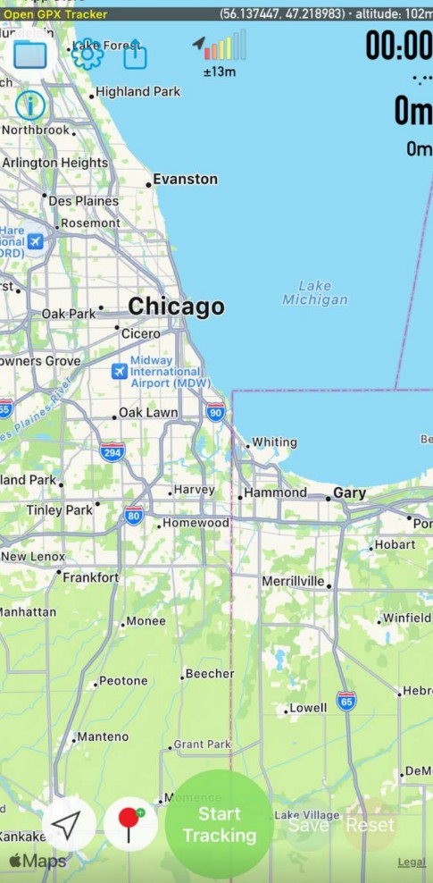
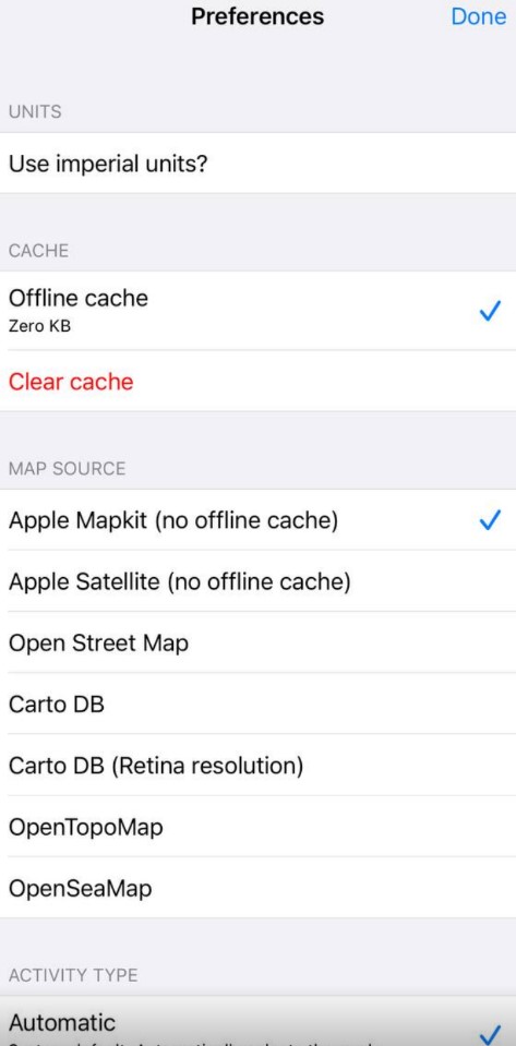
This tool is a GPS logger that allows users to create GPX files, track their location, and add waypoints. The app stands out with its offline map support, no time restrictions, no ads, and no in-app purchases.
The user interface is intuitive, making it for both tech-savvy users and beginners to navigate through the app. However, some users might find the lack of detailed instructions or tutorials to be a minor drawback.
What sets tracker apart from its competitors is its robust privacy policy. All data collected by the app remains private, offering users peace of mind.
The offline map support is reliable, providing accurate location data even without a connection. Its performance in creating GPX files and tracking locations is efficient, ensuring a seamless experience.
In conclusion, tracker presents a valuable package combining handy design, functionality, and respect for user privacy. Its limitations are minor, and overall, it is a reliable and efficient tool for anyone needing a GPX tracker.

You may also like: 5 Best Cigarette Counter Apps to Quit Smoking
2. Strava
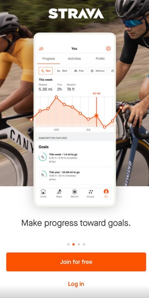
This is an exceptional application that combines fitness tracking with social networking, providing an exclusive platform for athletes across the globe. It’s not just a fitness tracker; it’s a social hub for athletes, a place where you can share your progress, compete with others, and find motivation to push your limits.
Strava offers an intuitive interface that makes tracking your activities a breeze. Its standout feature is the “segment” – specific stretches of road or trail where athletes can compete for time.
The app shines in its mapping capabilities, offering detailed and accurate maps to help plan your routes. However, the lack of offline map support may be a drawback for some users.
Strava takes privacy seriously, allowing users to set their activities to private and offering a “privacy zone” feature that hides the location of your home or workplace.
The free version of the app shows substantial functionality, but the Premium membership unlocks features like advanced analytics, training plans, and safety features. While some might find the premium cost steep, the value it provides in terms of data analysis and personalized coaching might justify the investment for serious athletes.


3. BikeGPX
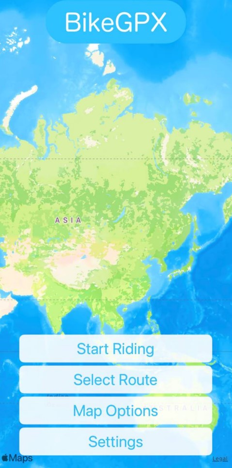
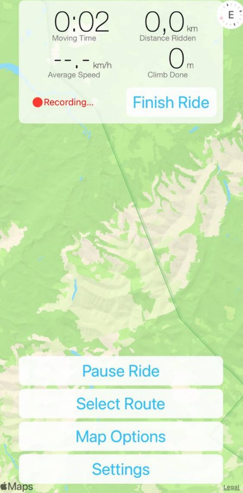
It is a simple yet powerful application that caters to cycling enthusiasts. It stands out with its focus on navigation for fixed-route rides, making it ideal for events like charity rides, sportives, and addaxes where a GPX file is provided by the organizer.
The user interface is remarkably intuitive. Adding routes with GPS maps and utilizing the guidance map is effortless. Nevertheless, a few users have expressed disappointment regarding the absence of offline map support, which they perceive as a drawback.
What sets it apart from competitors is its simplicity. It’s designed to do one thing – follow GPX paths – and it does this exceptionally well. Its functionality might seem limited compared to more comprehensive cycling apps, but its straightforward approach is appreciated by users who prefer a no-frills, dedicated cycle navigator.
The app’s performance is generally praised in reviews, with users noting its accuracy and reliability. As for privacy, the app doesn’t appear to collect any unnecessary data, focusing solely on providing navigation based on GPX files.


4. Pocket Earth
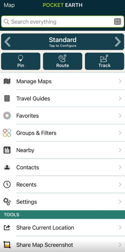
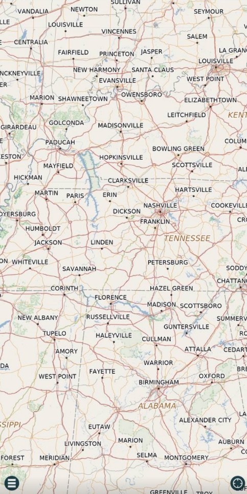
Pocket Earth is an engaging mobile application engineered for avid travelers. The app offers detailed worldwide maps and travel guides, making it a valuable tool for anyone eager to explore new places. It works entirely offline, including GPS functionality.
One of the key features of Pocket Earth is its highly detailed maps. The maps even show the locations of restrooms and traffic lights in major cities. This level of detail can significantly enhance the traveling experience by providing valuable information at the user’s fingertips.
In terms of functionality and performance, reports from ADVRider suggest that the app tracks gpx routes effectively. However, one issue noted was that the map appears upside down when traveling, which could be disconcerting for some users.
The search feature within the app is efficient and quick, providing relevant results for queries. The app allows users to add content or report issues, fostering a sense of community and shared responsibility for the accuracy of the information.
For frequent travelers, Pocket Earth offers several benefits. It provides offline maps, topographic contour maps for outdoor activities, and detailed travel guides. Compared to other similar apps, the offline capability and level of detail offered by Pocket Earth make it stand out.

5. GPX Viewer
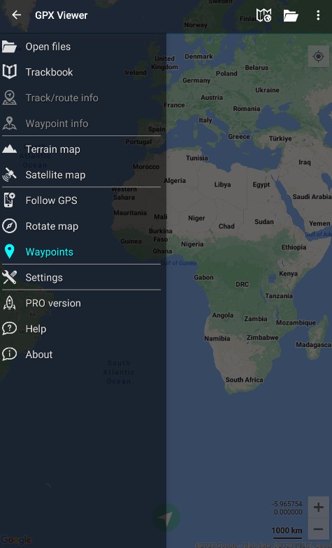
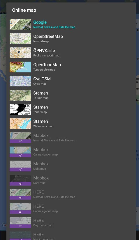
It offers highly detailed worldwide maps and travel guides right at your fingertips. Its unique selling point is its comprehensive offline functionality, including GPS, making it a reliable companion when traveling abroad.
The user interface, while packed with useful features, may not be entirely intuitive for first-time users. However, once you familiarize yourself with the app, the wealth of information available, from topographic contour maps for outdoor adventures to the locations of restrooms and traffic lights in major cities, becomes invaluable.
Furthermore, the app excels in its exceptional mapping capabilities, offering meticulously detailed maps that can be conveniently downloaded for offline usage. Users have consistently praised the app’s remarkable accuracy, especially when navigating GPX tracks.
In terms of privacy, there’s no specific mention in the sources provided, but considering the offline nature of the app, one can infer that user data requirements are minimal.

6. Map My Run
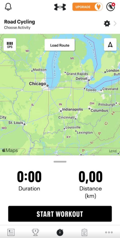
This is a well-rounded fitness application renowned for its precise tracking of distance. The app has established itself as a trustworthy resource for those intending to keep an eye on their running routines.
It is worth mentioning that the app serves a diverse user base beyond runners. It is widely utilized by many individuals to track a variety of activities, highlighting its versatility and adaptability.
One distinguishing feature of this app, as emphasized by WearTesters, is its social media aspect. Users can make post-workout notes, encouraging community interaction and offering a space to share experiences such as demanding landscapes or unforeseen events during a run.
It is also a competent application for monitoring diverse activities, including walking and cycling, thus broadening its appeal. The app’s collaboration with Garmin devices provides customized coaching advice and reflects its dedication to enriching the user experience.
Influenster praises the app for its straightforward usability in recording workouts and monitoring fitness progress, suggesting a minimal learning curve for users.



You may also like: 7 Best Trail Running GPS Apps
7. Gaia GPS
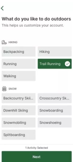
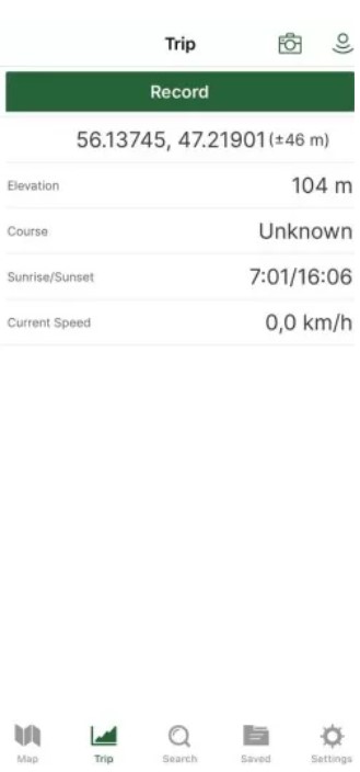
This is a robust outdoor navigation app that has been highly praised by users and reviewers alike. It’s considered one of the best investments for maps and trip planning. The app excels in organizing tracks, allowing users to create folders with tracks and photos.
Moreover, it has a route planner, worldwide snap-to-path functionality, and an excellent web planner. Routes can be color-coded and shown or hidden from the map at the user’s discretion. This makes it a versatile tool for planning and executing outdoor adventures.
The app is also appreciated for its extensive collection of crowd-sourced maps, which often feature details and trails that other apps miss, as per takeahike.us.
Furthermore, the app ensures the provision of the most accurate information on trails, roads, and destinations, making it a companion for hikers and explorers. Whether you’re backpacking, exploring campgrounds, overlanding, or simply hiking through breathtaking landscapes, Gaia GPS appears to be a worthy choice.


8. MapFactor Navigator
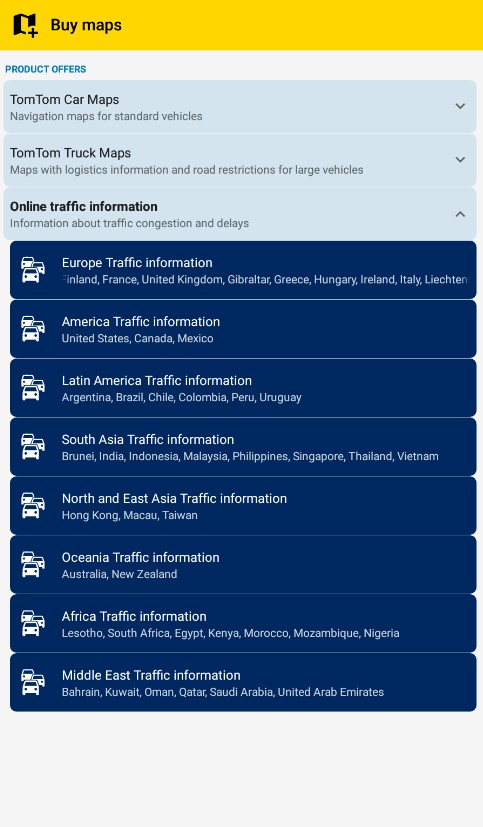
The app has earned its stellar reputation due to its reliable offline functionality and comprehensive map coverage of more than 200 countries worldwide.
One of the key advantages of the app is its ability to work flawlessly without an internet connection. This makes it an indispensable tool for travelers venturing into areas with weak or no network coverage. Users can download the necessary maps while connected to a solid Wi-Fi network and then navigate freely offline.
Another remarkable feature is the frequency and comprehensiveness of its map updates. These updates ensure that users always have access to the most current geographical data.
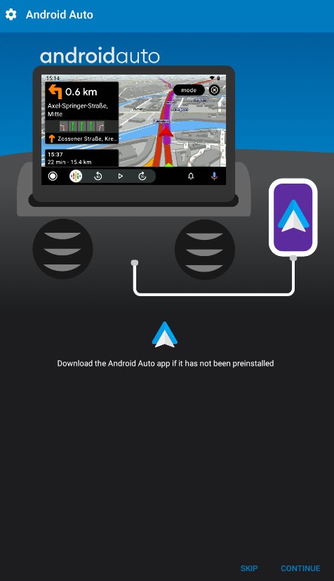
The app truly stands out for its exceptional compatibility with Android Auto, which goes beyond just convenience.
By seamlessly integrating with the vehicle’s in-built display, it not only enhances safety for drivers but also offers a higher level of convenience, allowing them to effortlessly operate the app with greater ease while on the go.

9. My Tracks
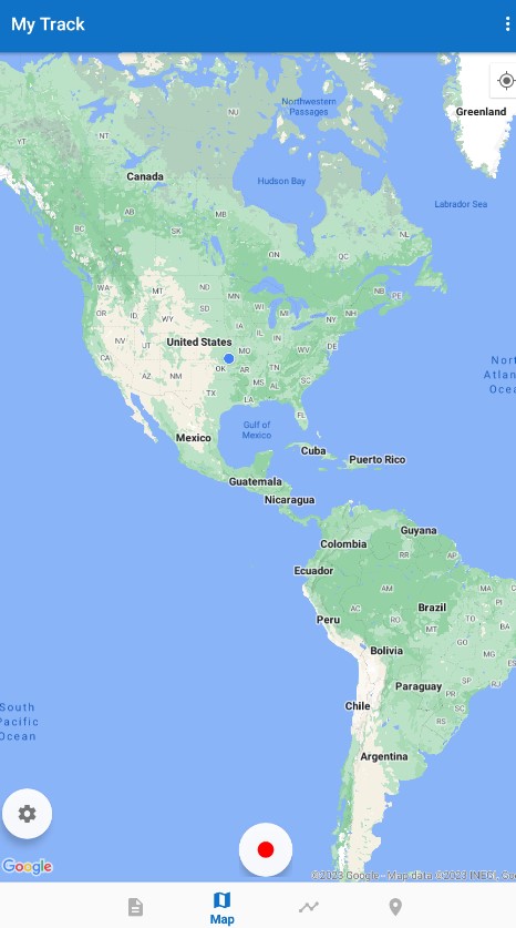
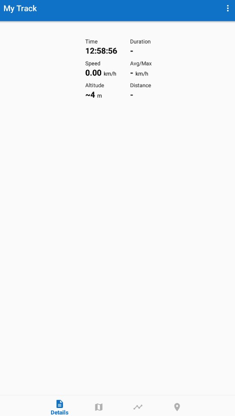
This is a robust GPS-logger application that has garnered positive reviews across various platforms. It is designed for outdoor enthusiasts and effectively records your path, speed, distance, and elevation during activities like walking, running, biking, and more as noted by CNET.
Not limited to any particular activity, My Tracks boasts versatility. It is equally useful for different activities such as hiking, running, walking, biking, and even horseback riding.
One of the app’s key features is its compatibility with multiple devices. Also, it can transform your phone into a fully functional GPS logger, displaying GPS recordings on different maps. This functionality enhances the user experience and makes navigation simpler and more efficient.
Moreover, countless users highly appreciate its remarkable feature of effortlessly capturing, seamlessly sharing, and meticulously analyzing data directly from their smartphones. This incredible capability positions it as an exceptional tool catered specifically to enhance outdoor activities to the fullest extent.

You may also like: 11 Best Ski Tracking Apps
10. OsmAnd
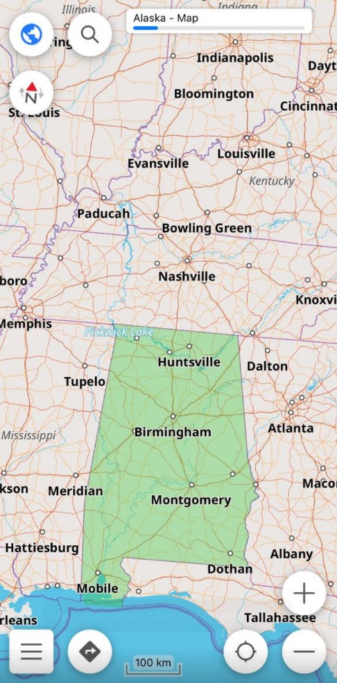
Exploring the realm of offline maps and navigation, OsmAnd emerges as a reliable, feature-rich application. With its roots in OpenStreetMap data, this app offers precise navigation across various modes of transportation.
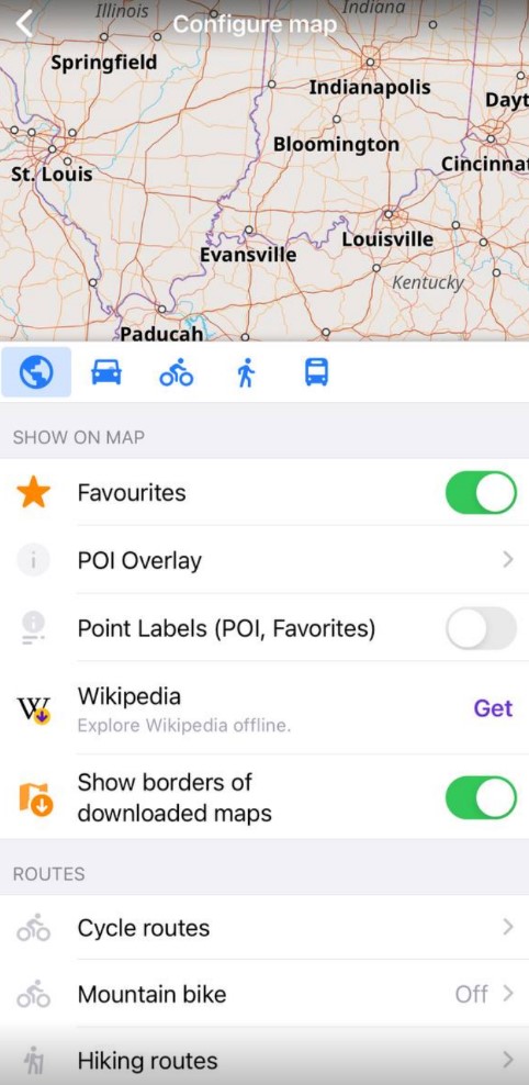
The user interface is highly configurable, allowing users to tailor their map viewing and navigation experience. The GUI keeps things simple yet effective, even when dealing with complex data.
What sets OsmAnd apart is its detailed maps that not only help you navigate but also provide an overview of your surroundings.
However, some users have found it challenging to input specific addresses, pointing to a potential area of improvement. Despite this, the app preloads a wide array of cities, ensuring you can navigate efficiently in most urban areas.
When it comes to bike navigation, OsmAnd shines with its wide range of functions and settings. This versatility, combined with its robust offline capabilities, makes it a valuable tool for any outdoor enthusiast.
