Our today topic of discussion is technology to measure distances and calculate areas. This is particularly helpful for determining the size of plots, fields, or construction sites. We are also glad to share with you Free Property Lines Apps, that at some point designed to help property owners or real estate professionals.
However, it’s time to move on to our topic. Let’s explore the best of what we have found for you online!
1. GPS Fields Area Measure
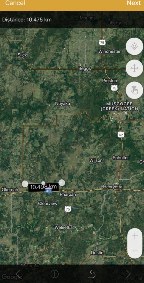
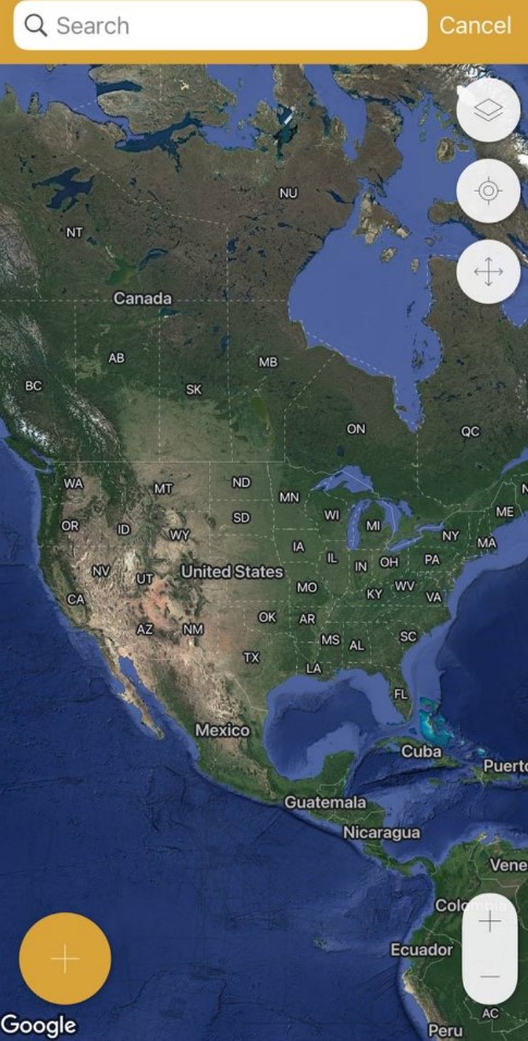
This choice is available for individuals who wish to utilize the application under various circumstances. Identify points of interest and examine distances, boundaries, or land areas whenever necessary, regardless of whether you have an internet connection or not.
Additionally, you have the capability to distribute revisions and measurements with your friends or associates in formats such as .kml, .kmz, or Esri Shapefiles. Also, you have the option to exchange and transfer collaborative files while maintaining connectivity with communities that hold significance to you.
Furthermore, the functionality is accessible here to classify your measurements into distinct categories. As such, you can assign names and provide descriptions, and even incorporate images for more streamlined identification.
Likewise worth noting, there is advantageous labeling. You have the autonomy to determine your preferred approach for marking points, whether you opt to perform this process manually or utilize the GPS mode. This way, more precise marking is available with only a few taps.
Simultaneously, armed with a specific map and designated points, you can maintain assurance in circumventing obstacles, demarcating fences, or outlining paddock boundaries with heightened clarity.
Consequently, a convenient tool embedded within your application has the potential to obviate the necessity of investing in field measurement equipment.


You may also like: 9 Best Apps to Buy Land in Metaverse
2. Geo Measure Area Calculator
With a wide range of features and a convenient interface, this application serves as a valuable tool for geodesists and professionals to accurately measure, calculate and manage areas on digital maps. It is also a comprehensive application for land measurements and area calculations on maps.
One of the features is the ability to add markers on the map, which helps indicate the area to be measured. This provides a visual reference point for surveying tasks. Additionally, misplaced markers can be overridden to ensure proper and precise records collection.
Moreover, you can drag and drop markers for precise placement, allowing you to mark points with increased accuracy. Also, there is instant measurement and calculation which provides real-time results. Likewise, you can save calculations and manage previously measured or calculated areas.
Moreover, a selection of diverse map types is available here to provide a customized experience depending on the user’s preference. Likewise, the program offers to calculate both proportions and territories, providing a versatile tool for surveyors.


3. LandGlide
This is a thorough land surveying application that provides cutting-edge parcel info and landline mapping capabilities. Leveraging GPS technology, it allows users to get essential land information from anywhere.
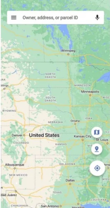
First of all, it offers to utilize GPS to precisely find your location on the map, granting instant access to critical details relevant to your area of interest. While hovering over a parcel on the map enables you to view detailed information about that specific parcel promptly.
Moreover, efficient property search options allow users to find properties based on owner names, addresses, or parcel numbers. Also, the app offers the convenience of saving favorite properties, adding notes to them, and exporting the data for further analysis or collaboration with colleagues.
On top of that, the tool provides seamless access across all your devices, allowing you to work on the same data from various platforms for improved productivity. Its database covers nearly the entire US population. So it offers comprehensive and extensive coverage of land records.
Together with its offline functionality ensures uninterrupted pass to land data even in areas with limited or no internet connectivity, enhancing versatility in the area.



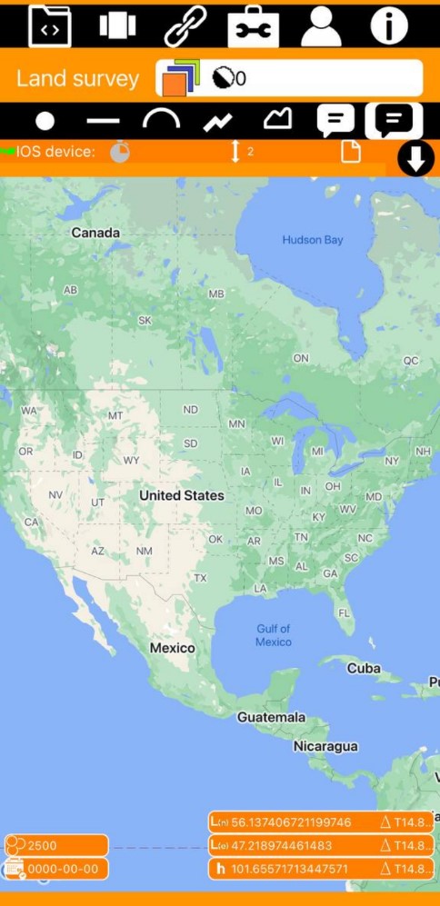
4. Apglos Survey Wizard
It is another land program that delivers effortless centimeter-level precision in land surveying tasks. Catering to both professionals and enthusiasts. With it, your phone transforms into a powerful surveying tool, thanks to its compatibility with external GNSS receivers.
By harnessing the capabilities of these receivers, the app ensures reliable and precise results. Moreover, it lets you have an intuitive interface and clear instructions enabling users to seamlessly start conducting accurate measurements without delay.
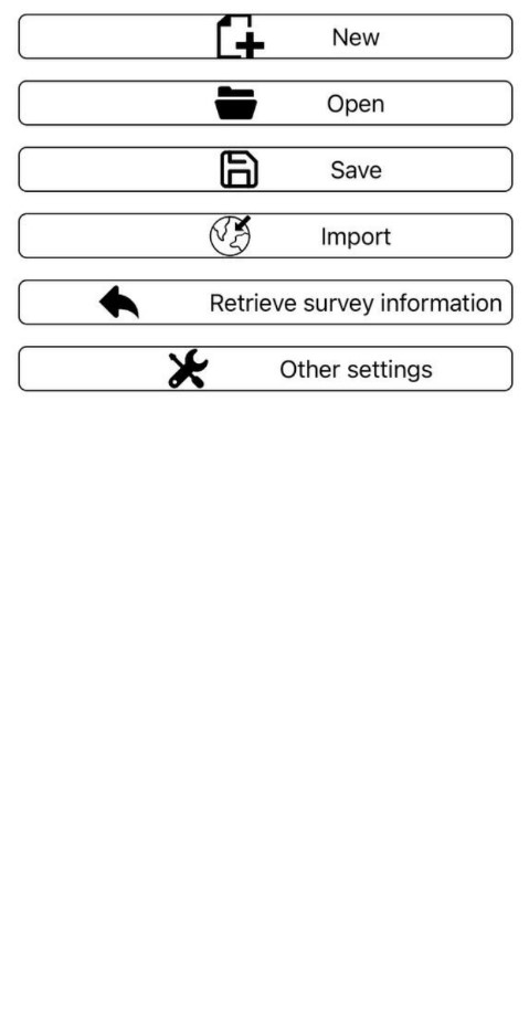
A standout feature of the app is its s wide range of popular receivers which automatically identifies and connects to them. Beyond its impressive surveying capabilities, it offers advanced tools for data management and analysis. Users can import and export data in various formats, such as CSV and DXF.
Additionally, the app includes tools for generating detailed maps and visualizations, empowering users to gain valuable insights from the collected data.


5. Acres: Land Data & Parcel Maps
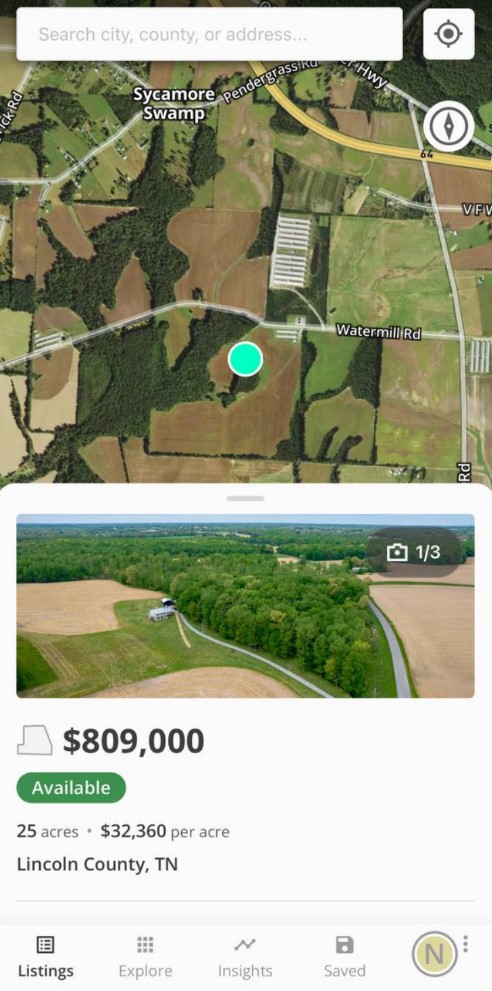
This is a thing that empowers users to search and explore land-related information and property listings across the United States. Firstly, the app allows users to discover and share land listings available for purchase throughout the US.
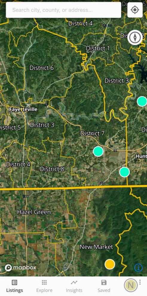
Moreover, it enables users to access crucial information about landowners’ names and check the boundaries of properties, providing essential data for land surveying. Also, users can select a parcel, view land boundaries, and evaluate land material on the move.
It includes accessing valuable information such as soil maps to determine soil composition and quality, elevation facts for assessing terrain variations, and vegetation index to gauge plant health based on light wave reflection.
Furthermore, the application offers entry to significant agricultural information, encompassing historical crop records obtained through satellite imagery, county assessments of cash rental rates for both cropland and pastureland and farmer-reported survey data for anticipated annual crop yields at the county level.
Such data aids surveyors in understanding land usage and agricultural productivity. It also offers recent land tax data wherever available, allowing users to assess the financial aspect of the land they are surveying.


6. ArcGIS Survey123
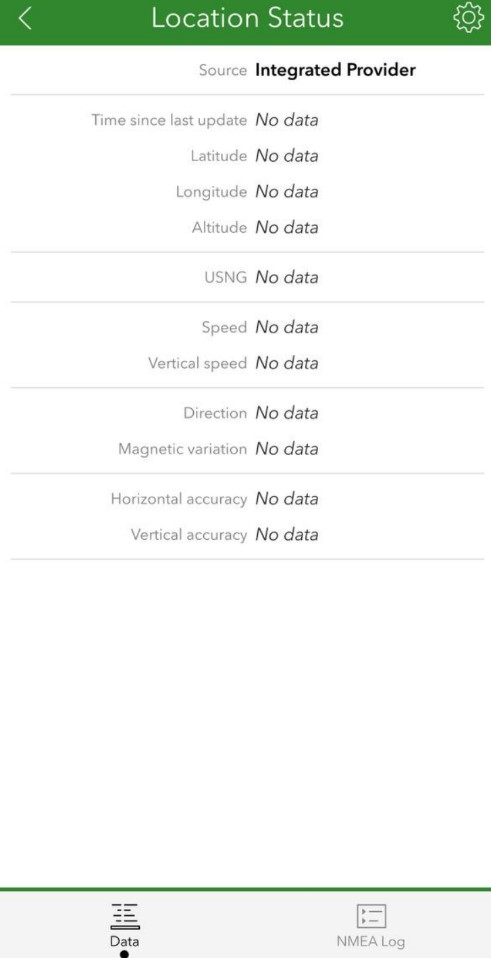
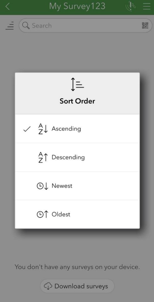
Let’s move to a robust tool designed to capture objective and reliable records both online and offline. It seamlessly integrates with ArcGIS Online or ArcGIS Enterprise. It allows you to secure data uploading and further analysis within the platform.
The app facilitates efficient data collection through smart forms, ensuring that surveyors can capture essential information with ease. This feature streamlines the surveying process, enabling you to collect data in a structured and organized manner.
Moreover, it empowers surveyors to enhance their data with visual context by attaching photos directly to their surveys. This capability provides valuable visual information. The program’s flexibility permits you to work either online or offline, enabling data collection even in places with limited internet connectivity.
Once the details are gathered, surveyors can directly submit their work into ArcGIS for further analysis or integration into their GIS workflows. This seamless integration with the ArcGIS platform enhances information handling and opens up a wide range of analysis and visualization possibilities.
For high-accuracy surveying requirements, ArcGIS Survey123 supports the use of high-accuracy GNSS receivers.


You may also like: 11 Best Credit Building Apps
7. HuntStand: Maps, GPS & Tools
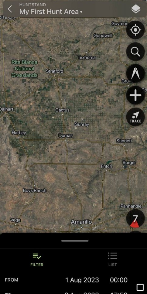
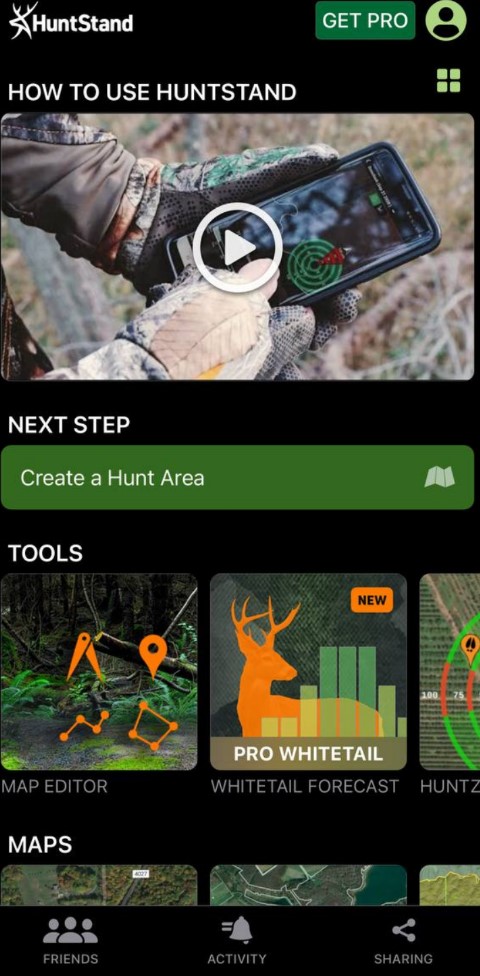
It is a tool that offers a range of features to support land surveyors and hunting enthusiasts alike. It provides tools for mapping, tracking, and sharing hunting areas with precision and convenience. With it, you may synchronize your hunting area maps across multiple devices. This feature enhances data continuity.
The app also offers the option to order ultra-high-resolution printed maps through their website. These maps are created using the app. Moreover, you are free to view and edit maps with the aid of ultra-advanced online mapping features, allowing for precise customization and analysis of the data.
In addition, the app facilitates seamless collaboration and communication among hunting enthusiasts by enabling users to share their maps with mates. This feature fosters teamwork and ensures that everyone is on the same page when planning hunting excursions.
Also, the platform allows users to create a personal profile and add buddies to their network, enhancing social connectivity within the hunting community. It even has a feature to find companions, which enables users to locate their pals during hunting activities, promoting safety and facilitating coordination.
Meanwhile, by joining group hunting areas, you can share and edit maps with your hunting companions.


8. GPS Area Measurements
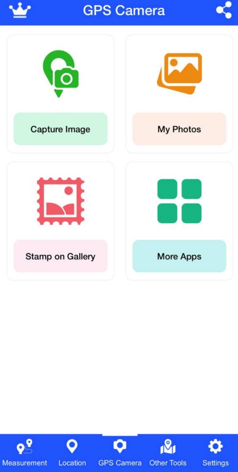
Well, this app provides accurate GPS measurements and various additional features to enhance your surveying experience. Firstly, it calculates the total area from your current location, providing quick and handy area measurements. Also, a GPS camera feature is available here which lets you take pics with further details.
As an illustration, you have the capability to indicate the date, time, and address, thus ensuring an accurate recording of the shooting site. Similarly, the application functions as a GPS-based navigation tool, delivering voice-enabled search functionality for locating destinations.
Users can protect searches to history and put them in favorites for accessibility. It can also be leveraged in slightly different ways. For example, with the handy multiple-stop route planner, users can effectively plan upcoming trips, modify routes, and add multiple stops.
After all, it makes it simple to find nearby places such as car services, gas stations, drugstores, banks, or restaurants. Also, the app offers a GPS compass with other modes, providing accurate directions.


9. GPS Maps Field Measurement
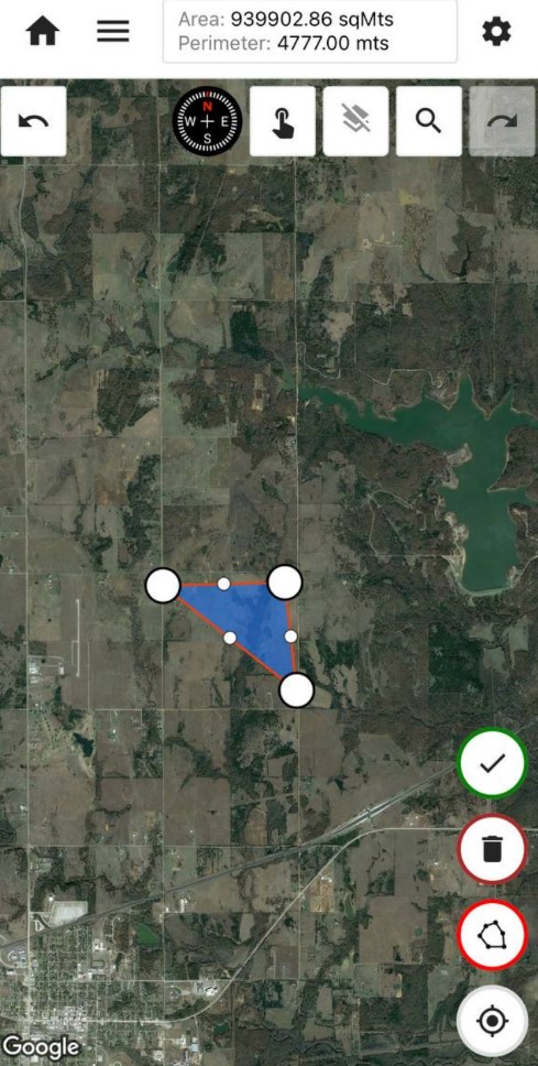
This application is specifically created to offer accurate measurements for distances and areas on maps. It was developed for geography research and GIS specialists.
The application offers a range of units for measuring both area and distance, such as latitude, longitude, and GPS live. You can effortlessly switch between these units according to your personal preferences.
Moreover, it seamlessly integrates with various mapping services, enhancing convenience and enabling users to access diverse mapping options. The app is available for free download and use, offering essential measurement tools.
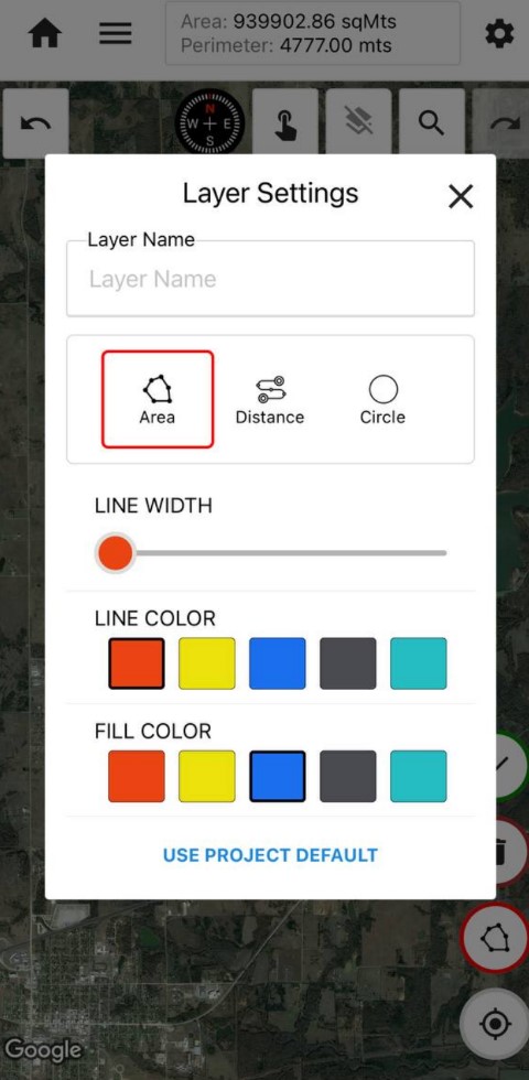
Apps’ features and tools include multiple measurement options such as tap, circle, and drawing, allowing users to capture data accurately. Also, customization options like stroke and fill colors enable users to personalize measurements and enhance visual representation.
More importantly, you can choose from diverse metric units, and view real-time measurements with GPS live drawing. Additionally, it is possible to explore various map types for enhanced visualization.
And location search based on addresses, zip codes, or cities facilitates quick mapping, while the undo/redo functionality offers flexibility in data collection. Sharing capabilities allow users to share measurements as KML files with pals and collaborate on projects via links.


10. Regrid Property App
It is a device that provides entry to essential parcel information for land surveyors and professionals. The application offers a wealth of data, including lot lines, APN and Parcel ID, addresses, landlords, acreage, square footage, sale price, mailing addresses, property values, land use, and vacancy indicators.
The tool grants users nationwide access to an extensive public record property database, encompassing more than 15o million parcels. With no lookup caps or time limits, the completely free account allows users to access unlimited data without restrictions.
Also, it features street and satellite base maps, enabling users to observe possessions from various perspectives. Users can easily explore properties using various criteria such as address, parcel number, lat/long, or place, ensuring quick and precise data retrieval.
While the nice property map interface enhances ease of use, facilitating effortless navigation and info exploration. Additionally, the app lets users share links to properties of appeal, streamlining collaboration and communication among surveyors and property experts.


You may also like: 7 Best house building apps
11. Measure Map
It is an app that provides users with avant means for precise measurements on the map. It offers two convenient ways to move marked points on the map. Users can touch and hold a marker for 3 seconds to move it, or they may use the Clipboard button to access a list of markers and easily edit their positions.
The app offers objective length and surface evaluations, presenting results in various units. It contains meters, kilometers, nautical miles, feet, miles, and yards for distance, acres, and hectares for area.
The app enables users to switch between various map types like Normal, Satellite, Terrain, and Hybrid, providing them with a range of visual perspectives. Additionally, it simplifies the sharing of coordinates at the user’s current location, making communication and records exchange more efficient.
Additionally, there is the option to exchange and import lists of points on the map, promoting enhanced teamwork with associates and invested parties. Moreover, the application facilitates the importing/exporting of markers between KML, KMZ, and CSV files, ensuring smooth data transition and alignment with alternative software solutions.
Additionally, the instrument displays UTM or MGRS coordinates, providing comprehensive geographic information to meet various surveying needs.


